Basic information about Zlin
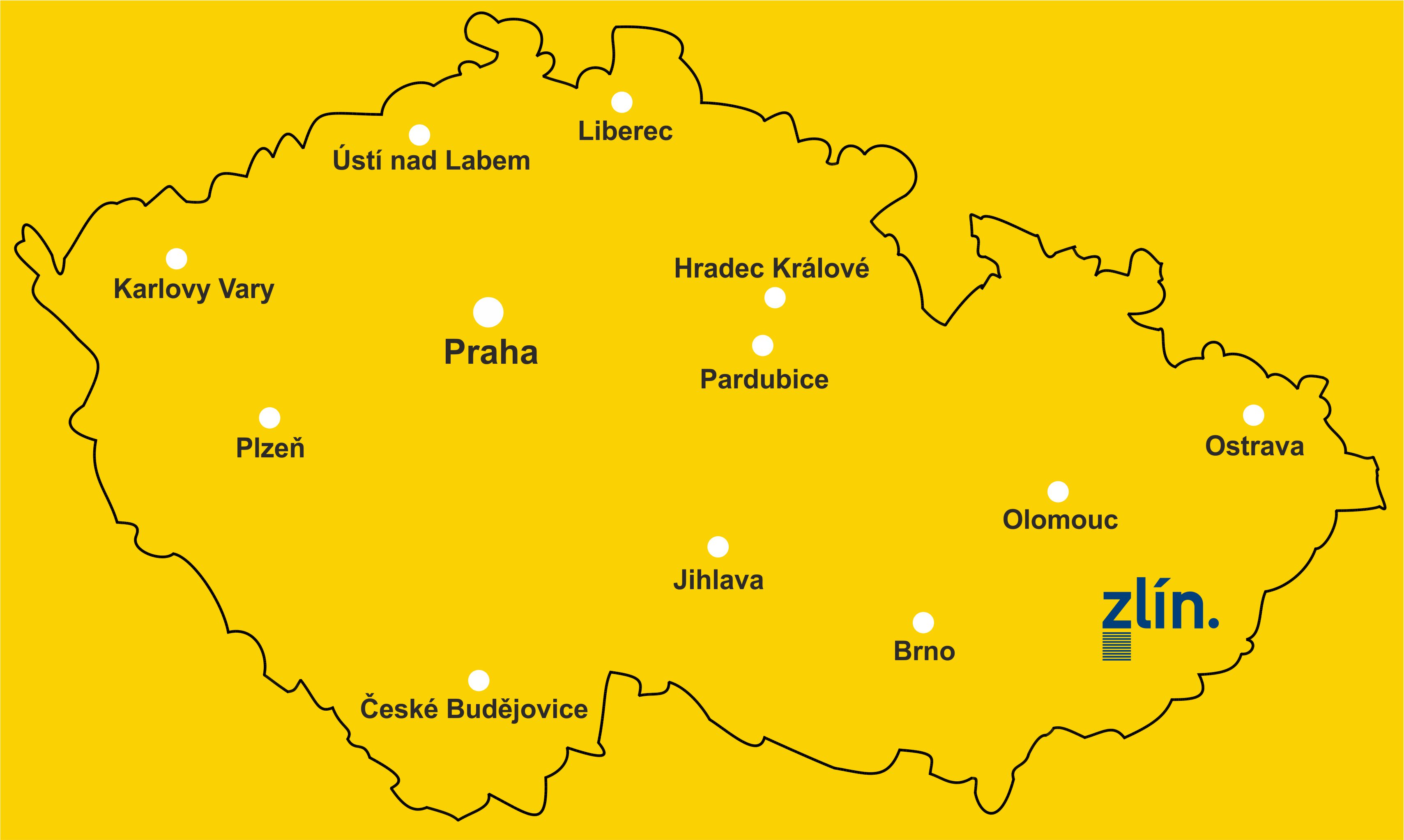
The regional capital Zlín is situated in the east part of Moravia, on the border between the Hostýn and Vizovice highlands. It extends into three ethnographic regions – Moravian Wallachia, Haná and Moravian Slovakia. It is closest to Moravian Wallachia with its character. Zlín stands in the valley of the Dřevnice Stream, which runs along the entire length of the town. The surrounding landscape is hilly.
Geography
| Area of Zlín | 103 km2 |
| Area of Zlín district | 1,034 km2 |
| Area of Zlín Region | 396,312 ha |
| Altitude | 223 m above sea level |
| Kudlov suburb | 394 m above sea level |
| Latitude | N49°13'36.71" |
| Longitude | E17°40'8.32" |
Distance from selected towns
| Town | Distance (km) |
| Prague | 300 |
| Brno | 95 |
| Plzeň | 390 |
| Ostrava | 110 |
| Bratislava | 170 |
| Budapest | 400 |
| Vienna | 180 |
| Munich | 660 |
| Berlin | 580 |
| Paris | 1,300 |
| Zürich | 980 |
The town's symbols
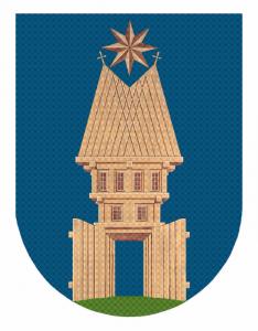
The town emblem
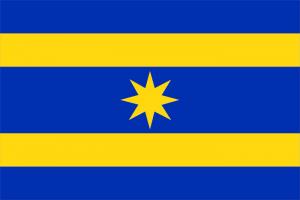
The town flag
Important personalities of Zlín (external link)


